 The Corps of Engineers operates more recreation areas than any other federal or state agency outside of the Department of the Interior (and they run the national park system). Not bad for an organization in the Department of the Army!
In the Tulsa District, we operate some 238 parks with 5,987 campsites, 51 improved swimming beaches, and 223 boat ramps. There are also concession areas and 176 parks operated by other government or private agencies at our lakes.
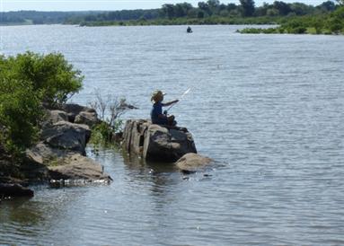
Tulsa District’s 38 projects are located throughout Oklahoma, into southern Kansas and northern Texas. A great diversity of environments in the region provides varying backgrounds for outdoor fun. Recreational experiences such as hiking, fishing, hunting, camping, boating, swimming, picnicking, educational programs, wildlife viewing, equestrian riding and even scuba diving await you at one of our lakes.
Some universally accessible facilities such as restrooms, campsites, and trails are available.
Experience the great outdoors
at one of our projects!